June 5, 2014
Collier state park &
Crater Lake National Park
It’s been a few days of
stops just getting us from point A to B, but it was well worth the nights of no
hookups etc.
We settled down for two
days at Collier State Park 21 miles outside of Crater Lake National Park. It was a beautiful park in the wilderness,
but both of us forgot to take pictures of the campsite. It’s in our memories, but we can’t seem to
remember everything now days. :) LOL
CRATER LAKE – WOW!
WHERE TO BEGIN
On June 12, 1853, 21 year old prospector John Wesley Hillman and others “discovered” Crater Lake while searching for a lost gold mine.
When he saw it he said, “I knew when I gazed upon Crater Lake that even though the west was filled with undiscovered wonders, Crater Lake would hold its own.”
We agree…..
I don’t think anyone can
forget their first glimpse of Crater Lake on a clear summer’s day – 21 miles of
water so intensely blue, it looks like ink ringed by cliffs towering up to 2000
feet above. Indian legend says it was gray before dipping into the waters.
The tranquil Gem of the cascades is set in a dormant volcano called Mount Mazama, one in the chain of volcanoes that include Mount St. Helens.
Mount Manama’s eruption about 5700 B.C. sent volcanic ash miles into the sky and expelled so much pumice and ash that the summit soon collapsed creating a huge caldera.
Crater Lake is 1,943 feet deep making it the deepest lake in the U.S.
and one of the 10 deepest lakes in the world.
The inky blue liquid of
Crater Lake is among the clearest lake water on the planet.
The test for clairity
involves lowering a black and white disk into the lake and recording the depth
at which it is no longer visible from the surface. In Crater Lake, a disk was submerged more than 143 feet before it
was lost from sight.
Flowers in bloom on the mountain
The lake is made up of
only snowmelt and rainwater that filled the 1,932 ft crater left by the
eruption. The mountain would have been
12,000 feet high; the surface of the lake today is 6,173 feet. Mazama’s eruptions had 42 times the force of
Mount St. Helens in 1980.
Ton is standing next to on of the many stick
markers in the park to measure the snow depth. It
also directs the snowplows from going off the road.
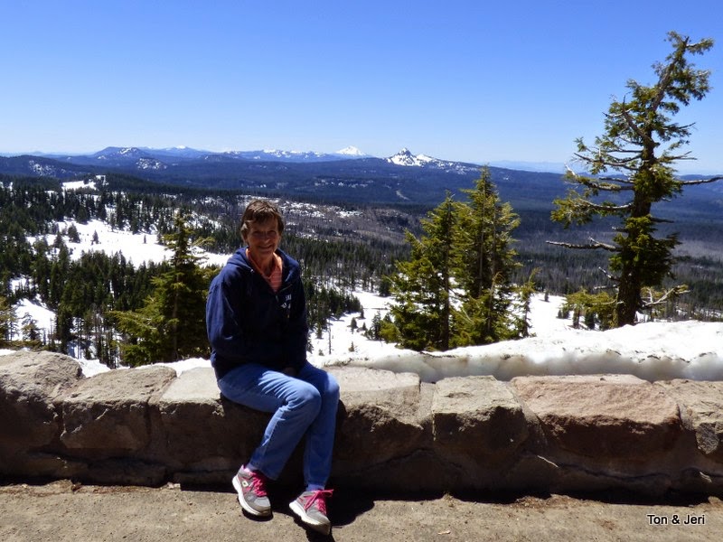
We could only go 6 of the
21-mile trip around the rim as the rest was under snow. The rangers said we could walk a little
farther if we chose to, but at our own risk.
The rest of the road will not open until the 3rd week of June
at the earliest. Usually it is July,
but this winter, they had the least snowfall in over 10 years.
Thanks for the memories
We are so happy we came
here – we didn't expect much, just thinking it was another National Park. Wow! … were we ever wrong. This beautiful place will be in minds
forever. Thrilled you could come along
and share it with us.


2 comments:
Thank you for the information and pictures of this awesome place! Can we go again some time? This is too pretty to even describe! Love you two.
Great Pictures. Beautiful Scenery! Oh, and did dad forget to pack his razor on this trip too? :)
Post a Comment